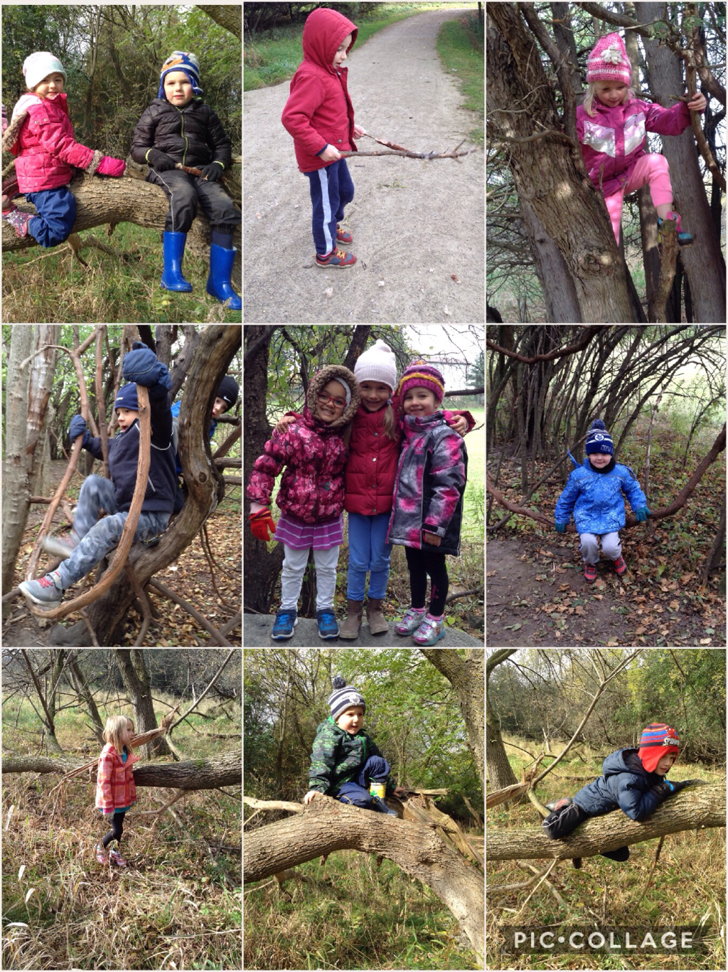
Following his time in space, Canadian astronaut, Chris Hadfield, created You Are Here, a beautiful compilation of photos of Earth taken from the International Space Station. As a class, we discussed how familiar places on our planet appear from outer space. We wondered, “If we were in an airplane or helicopter flying over our neighbourhood, what might we see if we were looking down?” Our ongoing investigation of maps extended from this discussion.
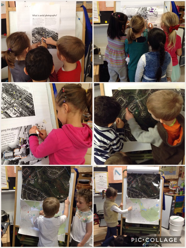
We have continued our mapping inquiry by examining and comparing aerial photos and street maps of the neighbourhood surrounding Fred A. Hamilton. Looking at the aerial photo, students were able to point out familiar landmarks such as major streets, our school, the baseball diamond, the park, walking trails, the splash pad, a swimming pool, ponds, and even the specific homes of classmates who live nearby! They interpreted information from the colours and symbols included on the maps. For example, on the street map, the areas of Hanlon Creek Park covered by ponds were shaded blue. The forested area was represented by a symbol of an evergreen tree.
We hung the aerial photo and a street map of the same location side by side and tried to find the same features on each representation. When talking about the similarities and differences between the two maps, we discussed which representation we found easier to understand and when each map would be the most useful. The aerial photo showed us exactly what the streets looked like and allowed us to pick out many identifiable landmarks. The street map would be useful if we needed to go somewhere, find our way around a new place, or give directions. We practised using directional words by figuring out and explaining to each other how to get between two familiar places, such from the school to the park, for example.
During these mapping activities and conversations, the children learned many new math concepts and important skills related to geometry and spatial sense. Our students:
• investigated an aerial photo and a street map of the Fred A Hamilton neighbourhood;
• discussed differences between the two maps and described situations when each map would be the most useful;
• saw the relationship between their neighbourhood streets and the smaller model/map;
• identified familiar locations;
• interpreted information from colours, symbols, and legends;
• demonstrated an understanding of direction and basic spatial relationships;
• used spatial language to describe the location of landmarks compared to each other;
• used directional words such as North, South, East, West or left/right to navigate or to give directions.
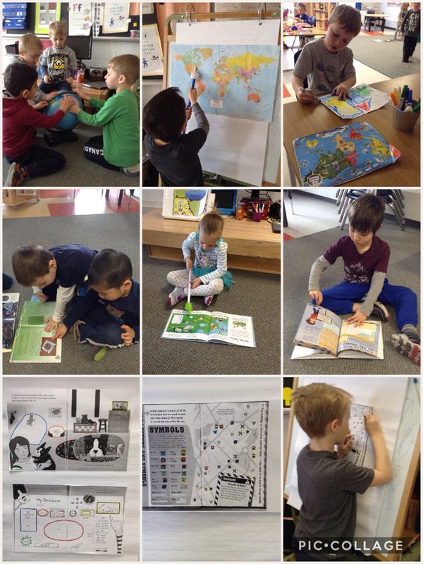
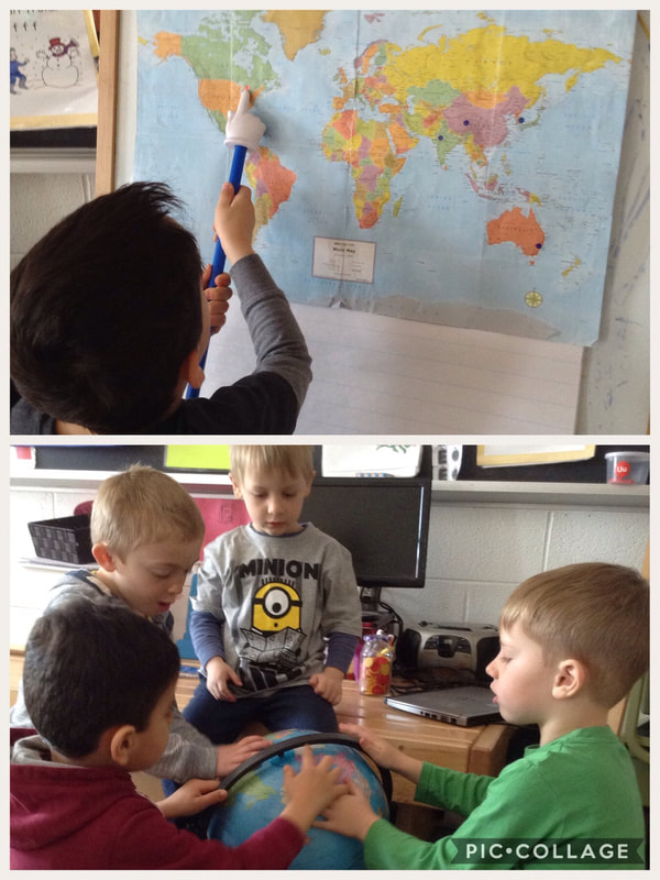

 RSS Feed