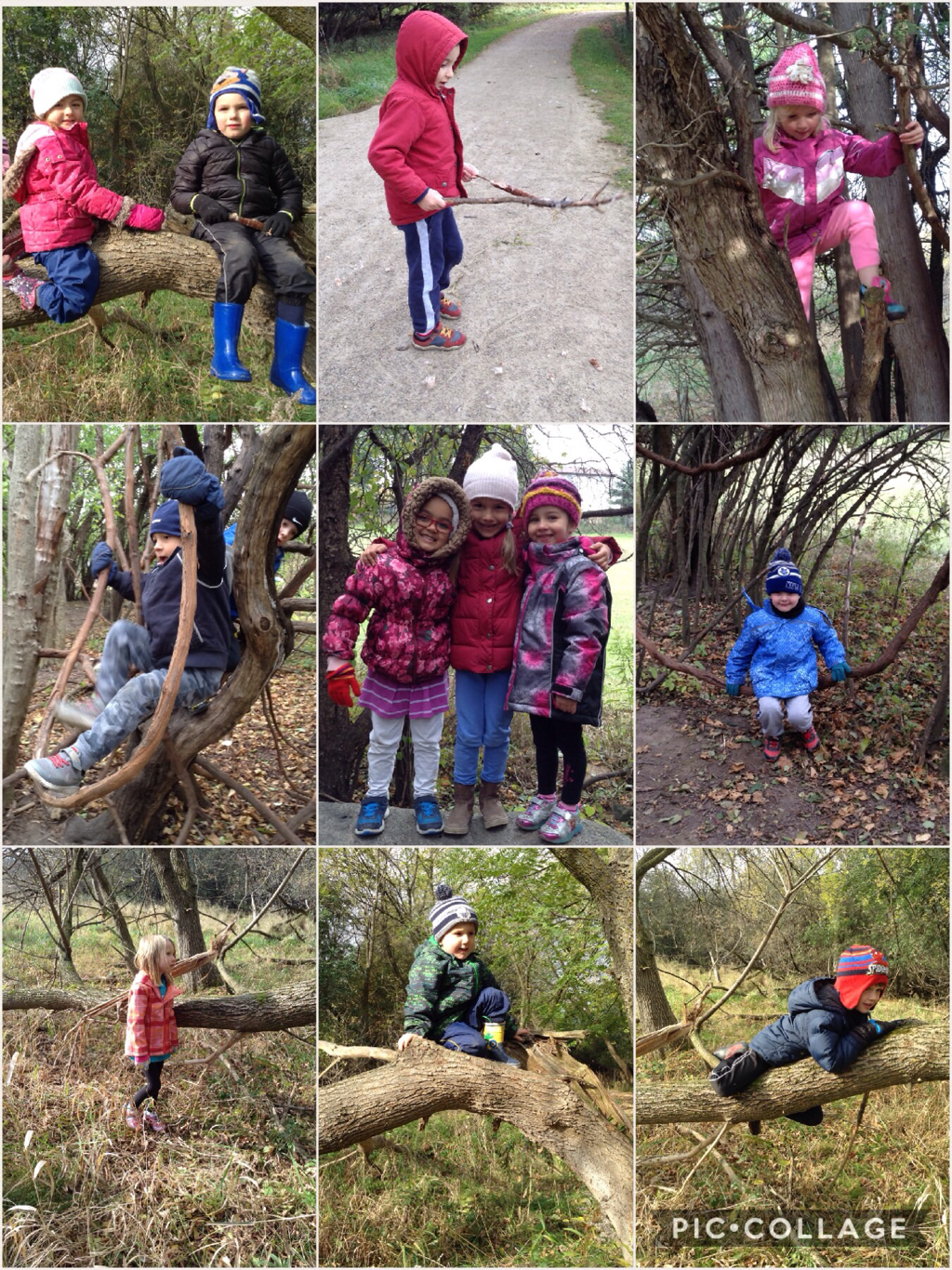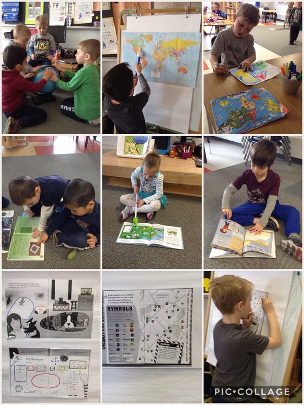
We have been exploring a variety of atlases, maps, and interactive children’s storybooks that introduced the students to beginning mapping concepts and to many new math ideas and important skills related to geometry and spatial sense. We identified differences between a 3-D globe and a 2-D map and brainstormed when each representation of the Earth would be most useful. We practised spatial reasoning skills by visualizing the shape of the Earth and the position of the continents and water.
We identified common features of maps, including a North arrow or compass rose and a legend. We took turns identifying the symbols in a map’s legend and locating the landmarks on the map that the little pictures represented. We explored location (where? = où?) and direction (which way? = quelle direction?) We also investigated community maps and considered routes (the road or path that we travel so that we won’t get lost). For example, how would we get to school? Which way would we go to get to the park? Forest? Splash pad? The students have a very solid understanding of north, south, east, and west, as well as left and right. They are fantastic mathematicians!
We identified common features of maps, including a North arrow or compass rose and a legend. We took turns identifying the symbols in a map’s legend and locating the landmarks on the map that the little pictures represented. We explored location (where? = où?) and direction (which way? = quelle direction?) We also investigated community maps and considered routes (the road or path that we travel so that we won’t get lost). For example, how would we get to school? Which way would we go to get to the park? Forest? Splash pad? The students have a very solid understanding of north, south, east, and west, as well as left and right. They are fantastic mathematicians!
 RSS Feed