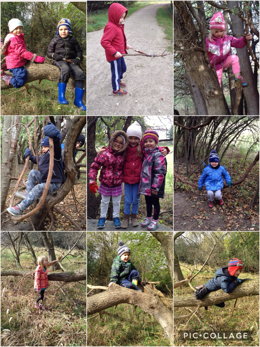
During our “Space” unit, one of our students brought in You Are Here, a book of photos of Earth taken by Canadian astronaut, Chris Hadfield, from the International Space Station. As a class, we discussed how familiar places on our planet appear from outer space. We wondered, “if we were birds flying over our neighbourhood, what might we see if we were looking down?” Our ongoing investigation of maps extended from this discussion.
We began by showing the students a globe and talking about how it is a three-dimensional model of the Earth represented on a sphere. This discussion flowed very naturally from our previous discussions of planets. When asked what they noticed about the globe, the children pointed out how much of the globe is coloured blue. Interestingly, about 2/3 of our planet’s surface is covered by oceans, seas, lakes, and rivers. The children also noticed the variety of other colours and lines that show how the world is divided into approximately 192 countries. After we found Canada, we could further identify the province of Ontario and the city of Guelph.
We continued by looking at various maps in a children’s atlas. The political world map looked very much like a “flattened” version of our globe. We compared this map with a physical map that was coloured in blues, browns, and greens representing the natural areas of our planet covered by water, mountains, deserts, and forestation. We have also been exploring a variety of interactive children’s storybooks including Follow That Map and Mapping Penny’s World that introduced the students to common features of maps and to beginning mapping concepts. Reading books aloud provides real links between literature and mathematical ideas. Both of these excellent books used mathematical terminology and contained vivid illustrations of mathematical concepts.
Our mapping conversations and activities built on the students’ prior knowledge of the solar system and our planet Earth, and addressed several overall expectations that fall under the “Geometry and Spatial Sense” strand of the Kindergarten math curriculum. Our students:
• identified differences between a 3-D globe and a 2-D map and brainstormed when each representation of the Earth is most useful;
• practiced spatial reasoning skills by visualizing the shape of the Earth and the position of the continents and water;
• explored direction (Which way? Understanding N, S, E, W; left and right);
• explored location (Where?);
• identified common features of maps, including a title, a North arrow or compass rose, and a legend;
• interpreted symbols from a key/legend that represented landmarks;
• investigated community maps;
• considered routes (the road or path that we travel so that we won’t get lost). For example, how would we get to school? Which way would we go to get to the park? Forest? Splash pad?
After March Break, we will pick up our mapping inquiry by continuing to examine and compare aerial and street-view maps of the neighbourhood surrounding Fred A. Hamilton. We will also be creating our own 2-D maps of our classroom, school, neighbourhood, and homes.
 RSS Feed